Earth Science
 China Aerospace Science and Technology Corporation(CASC)Government
The ZY-3 (Ziyuan-3, 'Resource-3') series represents China's first high-resolution, stereoscopic mapping satellites for civilian use. The second satellite is managed by the Satellite Surveying and Mapping Application Center (SASMAC). The imaging payload consists of a three-line camera array and a multispectral imager. The three-line panchromatic camera array to acquire stereoscopic imagery consists of three telescopic cameras with one oriented to the nadir and the other two each offset by 22° forward and backward in flight direction. The stereo mapping camera of ZY-3 has a resolution of 2.1 m for the nadir camera, and 2.6 m for the offset cameras. The swath width is 51 km. The multispectral imager for environmental and vegetation monitoring consists of a three-mirror telescope and a cooled detector system sensitive to four wavelength bands to capture full-color imagery as well as near-infrared data. The ground resolution of this system is 5.8 m.
Orbital Attempt
#7,156
CASC Mission
#564
Pad Launch
#77
Location Launch
#149
Designator
2025-300
Dec 16, 2025, 3:17 AM
Minute
1 update
3:10 AM
Window Open
3:39 AM
Window Close
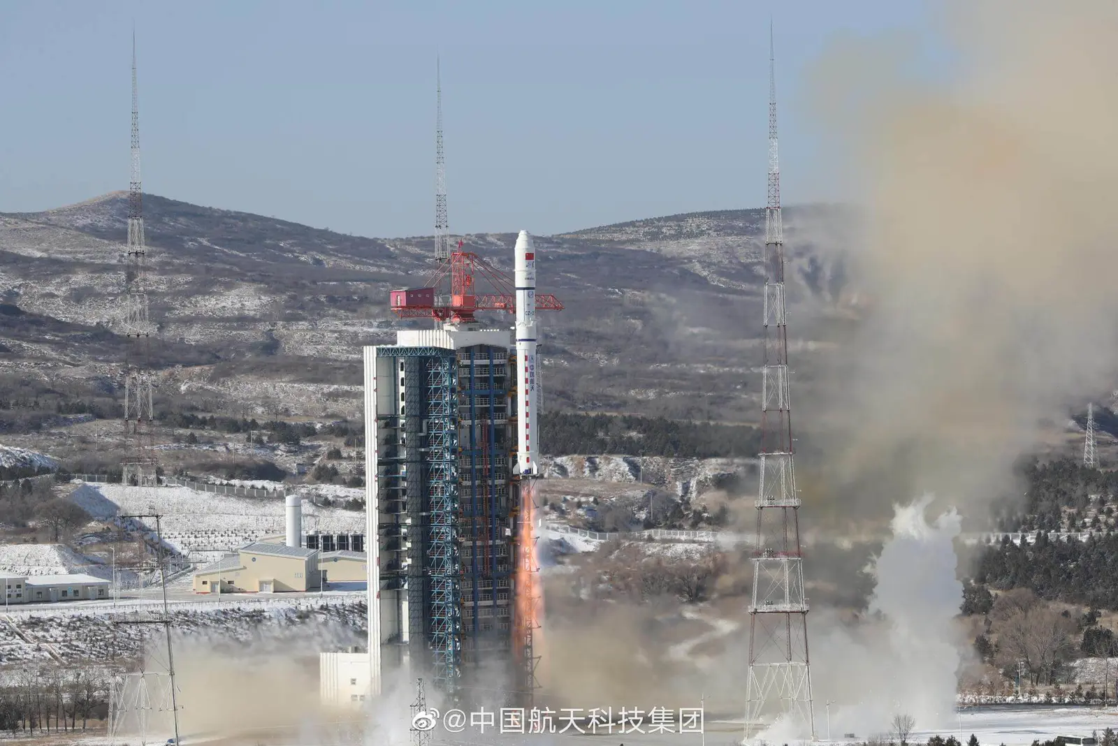
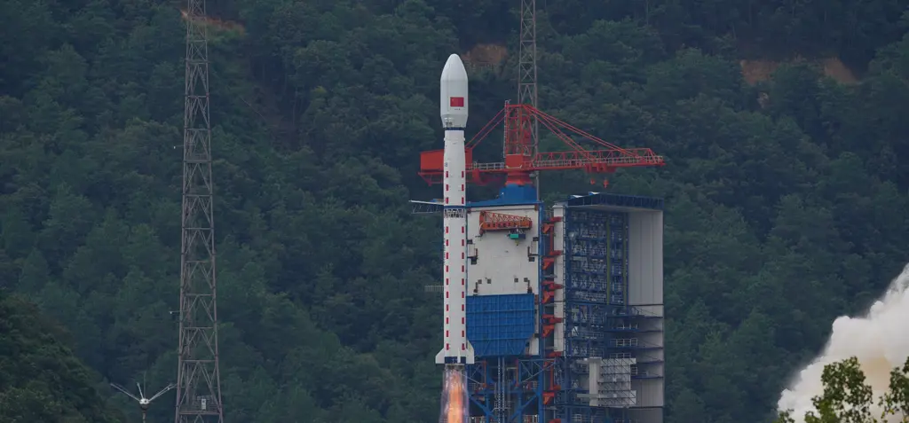
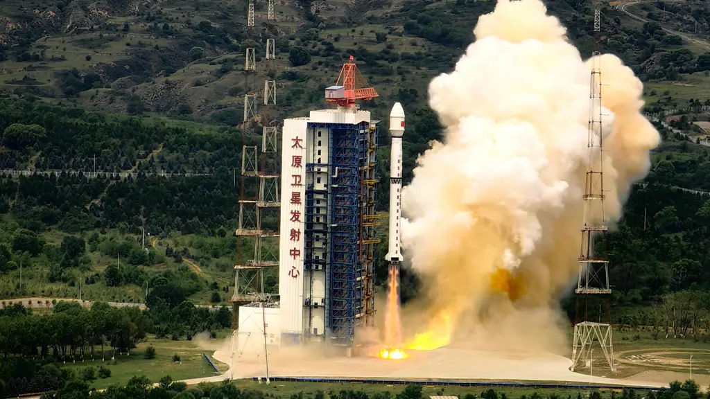
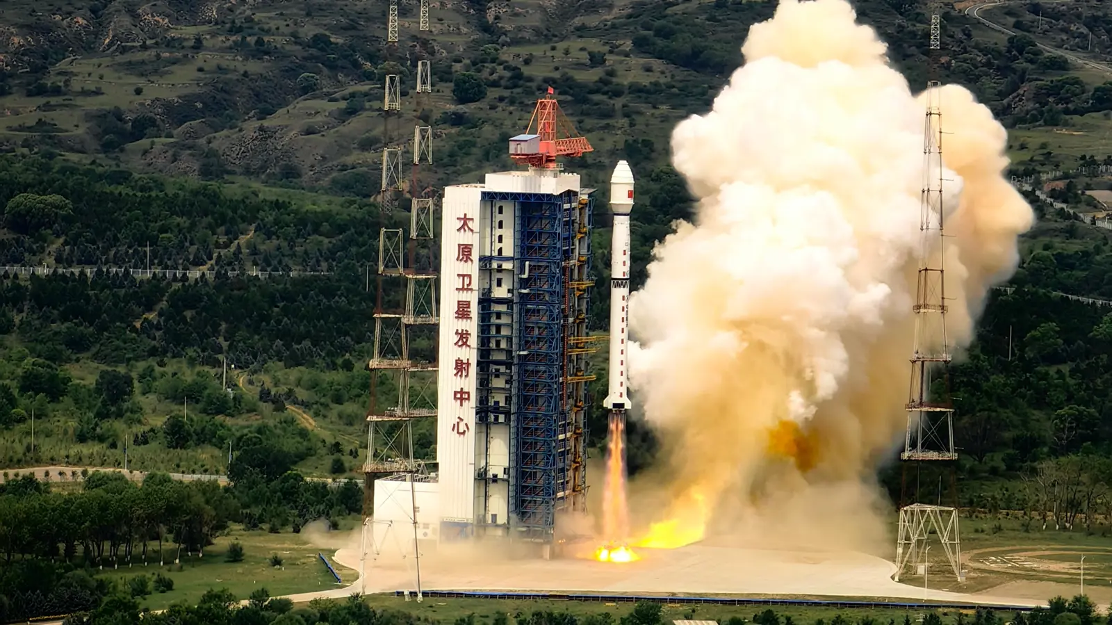
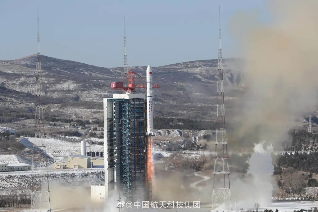
The Taiyuan Satellite Launch Center is a People's Republic of China space and defense launch facility. It is situated in Kelan County, Xinzhou, Shanxi Province and is the second of four launch sites having been founded in March 1966 and coming into full operation in 1968.
Timezone
Asia/Shanghai
Local Launch Time
Dec 16, 2025, 11:17 AM
Total Launches
157
Total Landings
0
Coordinates
38.8491, 111.6080