Earth Science
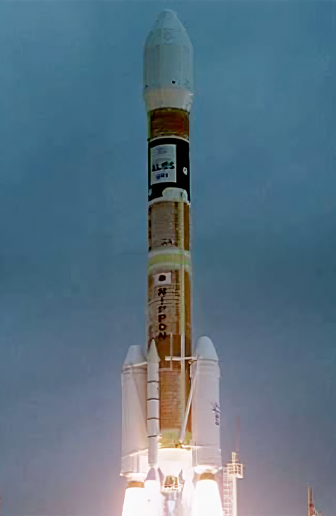
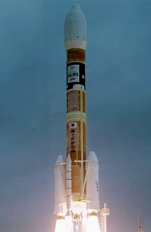
ALOS (Advanced Land Observation Satellite) is used for cartography, regional observation, disaster monitoring, and resource surveying. ALOS has three remote-sensing instruments: - the Panchromatic Remote-sensing Instrument for Stereo Mapping (PRISM) for digital elevation mapping with 2.5 meter resolution, - the Advanced Visible and Near Infrared Radiometer type 2 (AVNIR-2) for precise land coverage observation with 10 meter resolution, and - the Phased Array type L-band Synthetic Aperture Radar (PALSAR) for day-and-night and all-weather land observation. ALOS transmitts its data via the DRTS (Kodama) satellite. The ALOS was launched by an H-2A-2022 launch vehicle from the Tanegashima Space Center. ALOS as been given the nickname Daichi. Five minutes after spacecraft separation, ALOS began to unfurl its 72-foot solar array that will provide electrical power to the craft throughout its mission. Six cameras are on-board to visually verify the correct deployment of the solar panel and various instrument antennas. ALOS lost all power on 22. April 2011, thus ending the mission.
Orbital Attempt
#4,752
JAXA Mission
#16
Pad Launch
#15
Location Launch
#39
Designator
2006-002
Jan 24, 2006, 1:33 AM
1 update
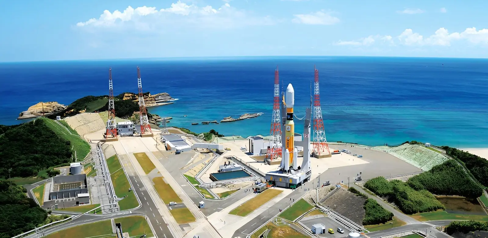
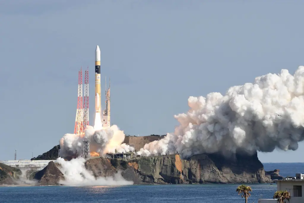
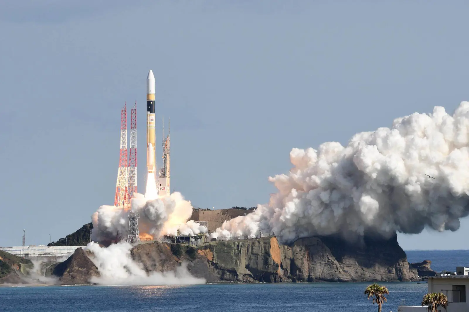
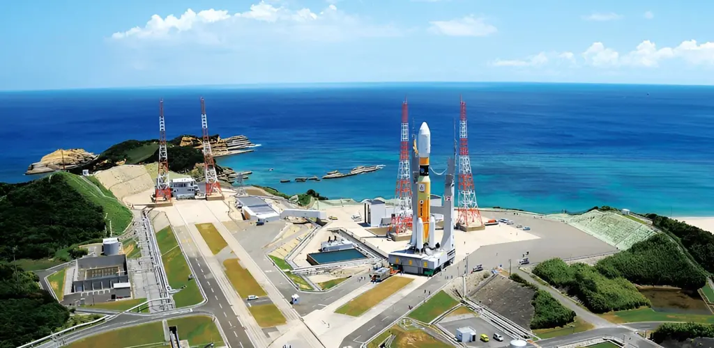
The Tanegashima Space Center is the largest rocket-launch complex in Japan. It is located on the southeastern tip of Tanegashima, an island located south of Kyushu, an island and region and Japan. It was established in 1969 when the National Space Development Agency of Japan (NASDA) was formed, and is now run by JAXA. The activities that take place at TNSC include assembly, testing, launching, and tracking satellites, as well as rocket engine firing tests.
Timezone
Asia/Tokyo
Local Launch Time
Jan 24, 2006, 10:33 AM
Total Launches
98
Total Landings
0
Coordinates
30.4000, 130.9700