About NISAR (NASA-ISRO Synthetic Aperture Radar)
The NASA-ISRO Synthetic Aperture Radar, or NISAR satellite, will use advanced radar imaging to map the elevation of Earth's land and ice masses 4 to 6 times a month at resolutions of 5 to 10 meters. It is designed to observe and measure some of the planet's most complex natural processes, including ecosystem disturbances, ice-sheet collapse, and natural hazards such as earthquakes, tsunamis, volcanoes and landslides. Under the terms of the agreement, NASA will provide the mission's L band synthetic aperture radar (SAR), a high-rate telecommunication subsystem for scientific data, GPS receivers, a solid-state recorder, and a payload data subsystem. ISRO will provide the satellite bus, an S band synthetic aperture radar, the launch vehicle, and associated launch services.
Orbital Attempt
#7,017
ISRO Mission
#96
Pad Launch
#30
Location Launch
#100
Designator
2025-163
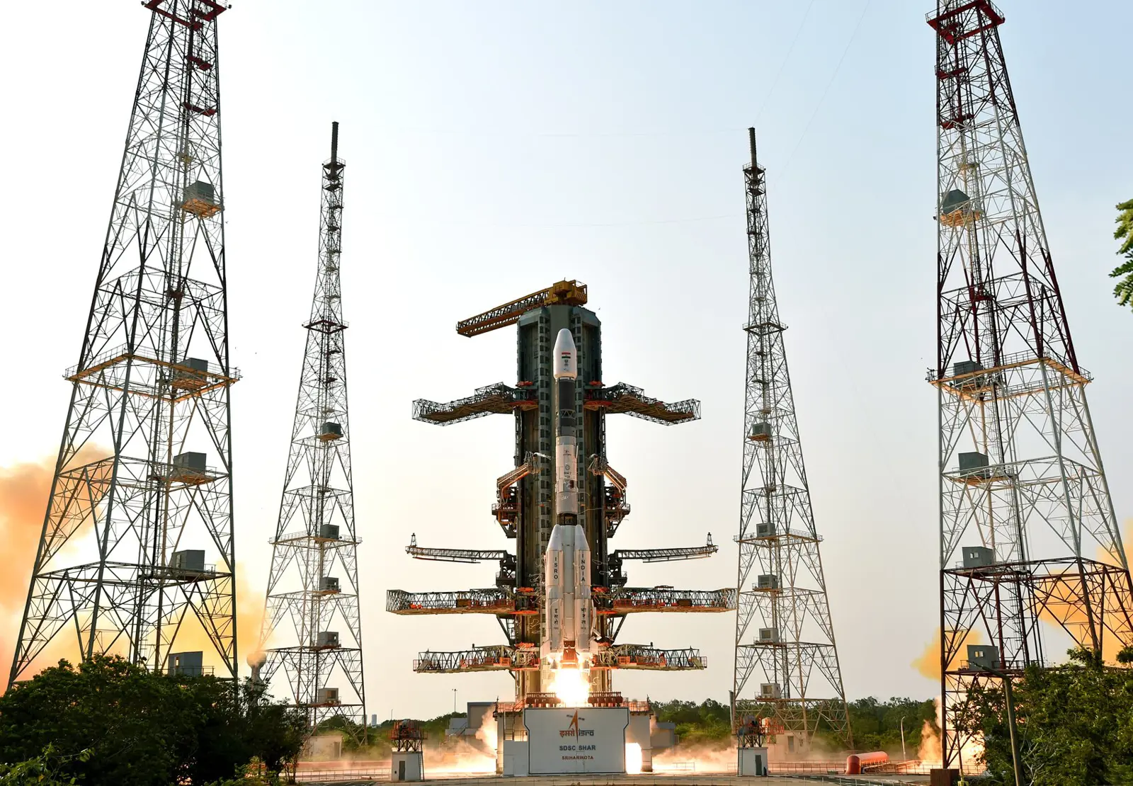
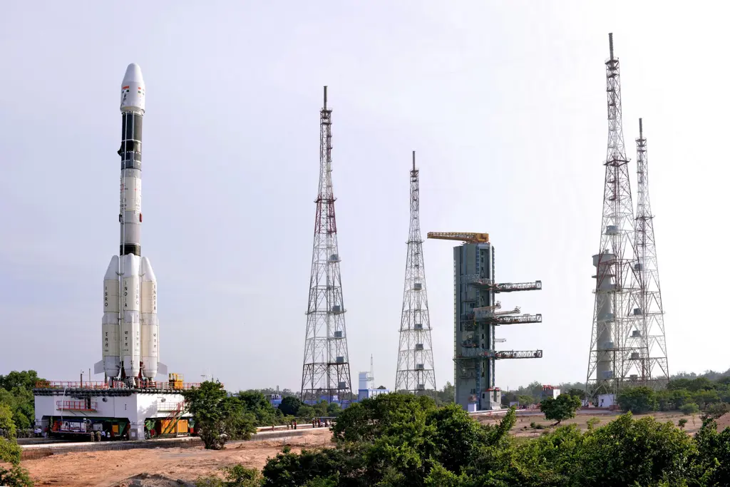
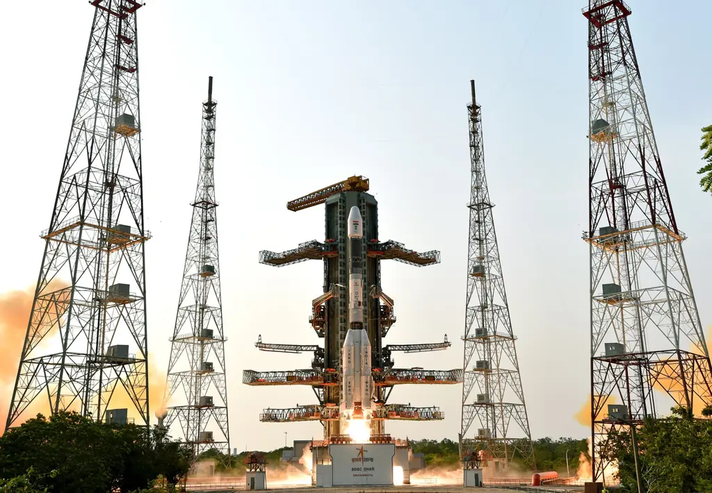
Geosynchronous Satellite Launch Vehicle Mark II (GSLV Mk II) is the largest launch vehicle developed by India, which is currently in operation. This fourth generation launch vehicle is a three stage vehicle with four liquid strap-ons. The indigenously developed cryogenic Upper Stage (CUS), which is flight proven, forms the third stage of GSLV Mk II. From January 2014, the vehicle has achieved four consecutive successes.
Length
49 m
Diameter
2.8 m
Launch Mass
401 t
Thrust
7,420 kN
Capacity
0 kg
Capacity
2,500 kg
Reusable
No
Maiden Flight
2010
Fastest Turnaround
6mo 2d
Total Launches
13
Successful
11
Failed
2
Consecutive Success
5
Maiden flight: Apr 15, 2010
The Indian Space Research Organisation (ISRO) is the space agency of the Government of India headquartered in the city of Bangalore. Its vision is to "harness space technology for national development while pursuing space science research and planetary exploration."
Founded
1969
Administrator
Chairman: V. Narayanan
Total Launches
100
Successful
85
Failed
15
Pending
21
Consecutive Success
1
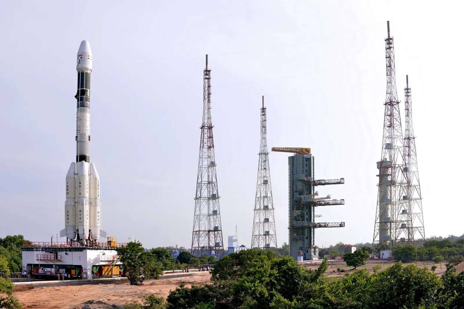
The second launch pad was built between 1999 and 2003. It became functional in 2005 and has since been used for various rockets. This launch pad supports missions by PSLV, GSLV, LVM3 rockets and is even envisioned for India's future crewed spaceflight.
Total Launches
33
Orbital Attempts
32
Fastest Turnaround
1mo 1d
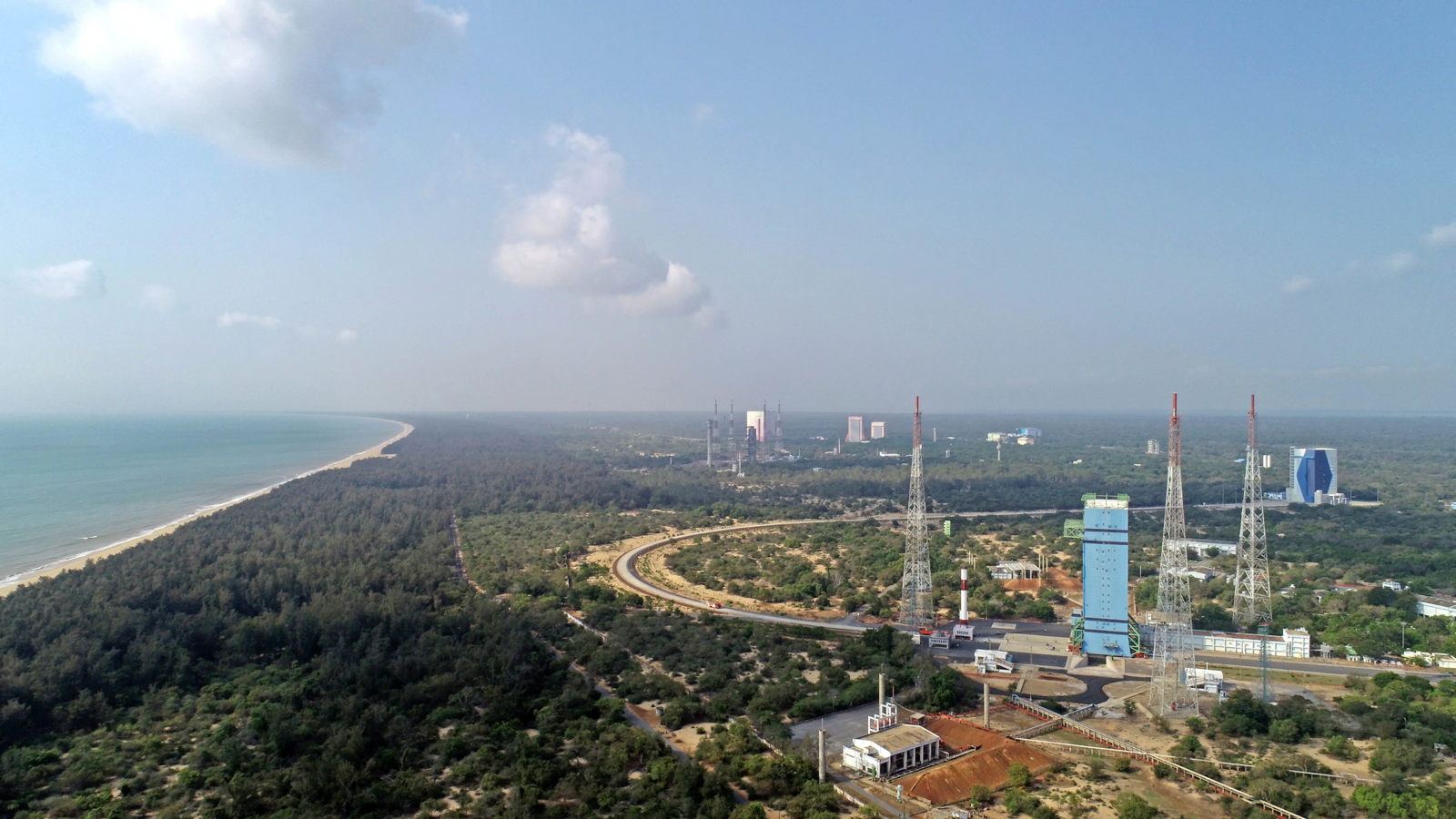
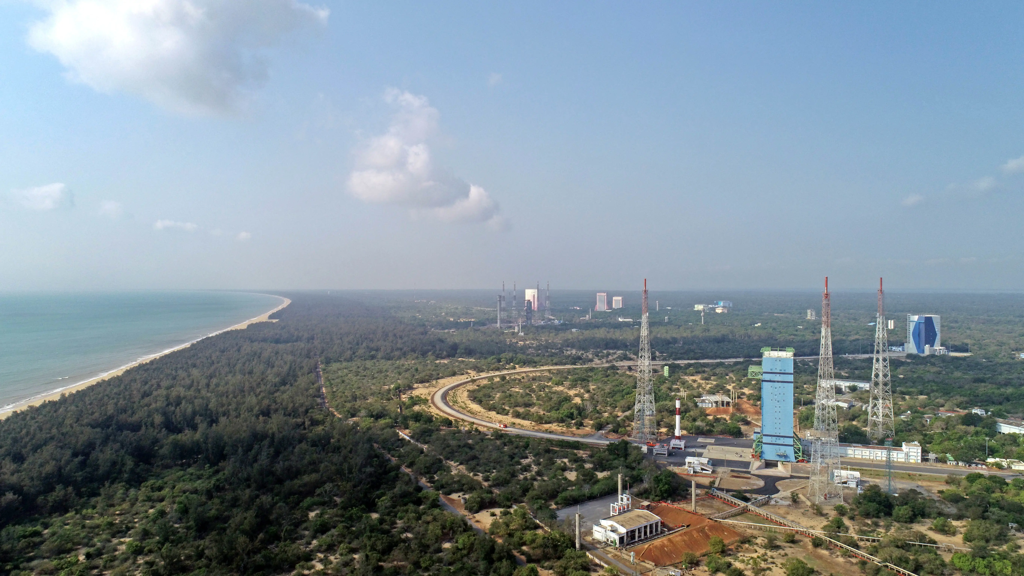
Satish Dhawan Space Centre – SDSC (formerly Sriharikota Range – SHAR) is the primary spaceport of the Indian Space Research Organisation (ISRO), located in Sriharikota, Andhra Pradesh.
Timezone
Asia/Kolkata
Local Launch Time
Jul 30, 2025, 5:40 PM
Total Launches
105
Total Landings
0
Coordinates
13.7200, 80.2300
Jul 30, 2025, 12:10 PM
Minute
1 update
Satellite in operation.
SourceSpacecraft separation.
SourceLiftoff.
SourceOfficial Webcast by NASA has started
SourceGO for launch.
SourceNET July 30.
SourceNET July 16.
SourceNET July 5.
SourceNET June 18 per NOTAMs, TBC.
SourceNET June.
SourceNET May 20
SourceNET Q2.
SourceNET late March.
SourceNET February.
SourceSlipped to NET early 2025 due to satellite issues.
SourceNET October.
SourceNET late May.
SourceNET Q2 2024.
SourceNET March 30.
SourceNET early 2024.
SourceDelayed to 2024
Source